As the 2017 year comes to a close, and we are full on into the dead of winter, I feel it is time to reflect on a few things, and maybe check in and see what we have in store for 2018. Do you ever stop and think “Holy Crap, its 2018… Y2K was 18 years ago!!??” I do 😛
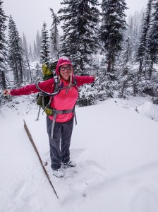
So… what have I been up to while we wait for hiking season to begin again? Well my last hike was around the Thanksgiving weekend (the Canadian one, late October), we were graced with about 8″ of snow while camping. Our plans to summit Mt John Carter were squashed, so move that adventure to next year’s bucket list. This is the photo when we first arrived at our tent pad in Kokanee Glacier Park. We still had a fun time in the snow; it’s always fun to do some colder weather camping!
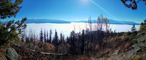
We also managed to do some nice local day hikes, as the shoulder season was upon us.
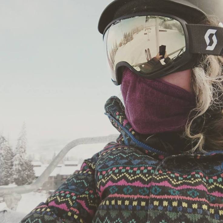
But now, as temperatures are commonly hitting around 1°F/-17°C over the various mountain passes, it’s ski season! I picked up a pair of on-piste ski’s and boots for $50 in the classifieds – perfectly fine shape to learn on! Me, enjoying some time on the hill:
Looking into the new year, I have a few big plans in the works. I’m going to try my hand at getting a Wonderland Trail Permit for later in the summer/early fall. Also, I am looking at hiking the Chilkoot Trail in three days in late summer. This trail connects Skagway, Alaska to Whitehorse, Yukon, Canada. I have already scheduled one half-marathon for the end of May, and probably will do another one later in the summer, as well as a 10K trail run. I look forward to providing posts surrounding planning to the bigger hikes.
In the gear front, I have gotten some pretty awesome stuff over the past month! I cannot *wait* to have a few nights in my new tent to review the Six Moon Design Lunar Solo – this tent will be my first single wall and the price point is really decent!
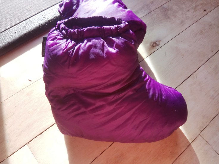
I also bit the bullet and just ordered an Enlightened Equipment Enigma Quilt for 0F (I had a -20F bag, and a 20F bag – felt I was missing that middle range). This bag is my first quilt ever and I look forward to reviewing it after several nights.
Happy New Year and Happy Hiking!
Let me know what you have planned for 2018!